Mapping Out Success: a BTS Field Trip
Data spotlights represent data and statistics from a specific period of time, and do not reflect ongoing data collection. As individual spotlights are static stories, they are not subject to the Bureau of Transportation Statistics (BTS) web standards and may not be updated after their publication date. Please contact BTS to request updated information.
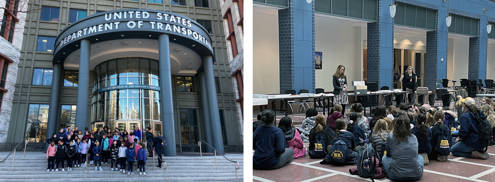
On February 7, 2024, the halls of the U.S. Department of Transportation (DOT) headquarters were filled with the voices of 40 fourth grade students from Stoney Ridge School of the Sacred Heart, and their teacher Abby Winek, came to visit.
“Have you met the Secretary?” the students would ask. “Has the President ever visited?” they wondered. Questions abounded as the children paraded to the East Building to reach their desired destination, at the Bureau of Transportation Statistics’ (BTS) National Transportation Library (NTL) Archives.

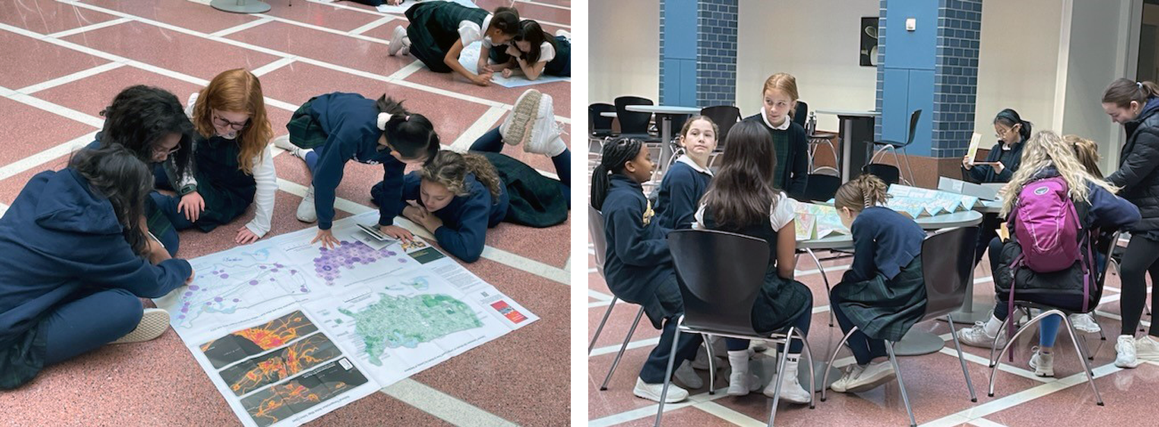
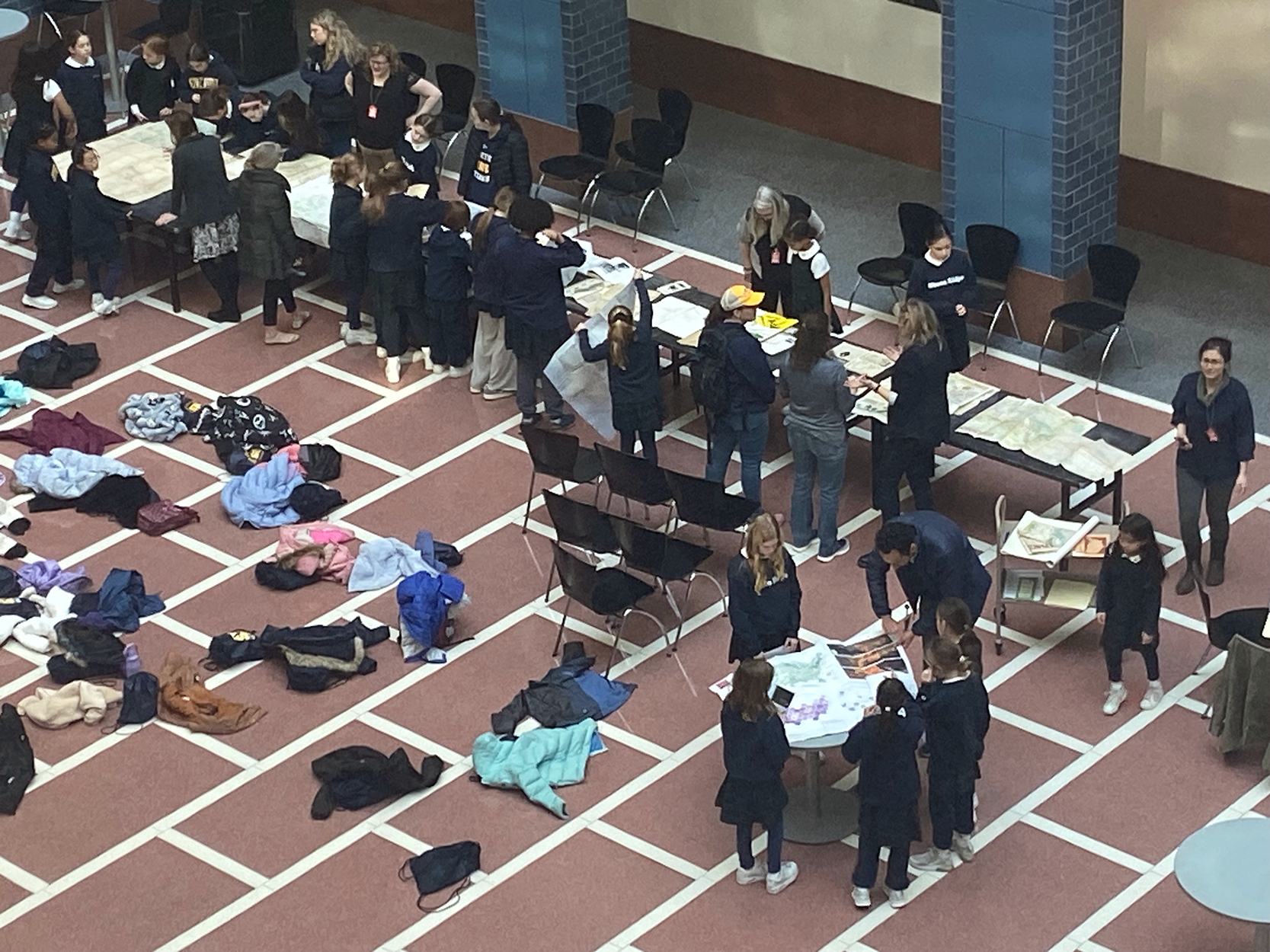
Sitting on the ground before six long tables displaying maps, the children continued to ask questions like, “do you have any maps with invisible disappearing ink?” and “what is an archivist?” to “have you made a map before?”

Together, Eden Orelove, an NTL archivist/historian, alongside BTS cartographer, Miles Weule Chandler, and District of Columbia Department of Transportation librarian, Katie Crabb, answered the children’s questions one-by-one.

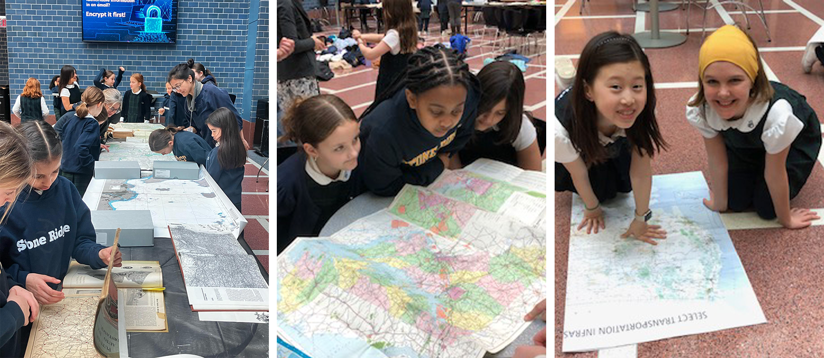
While viewing and learning about the maps, which ranged in date from the 1850s to present day, and varied from topographic, physical, and highway maps, as well as a recently published map designed by Weule Chandler, kids were able to search for their homes along the metro line. They also had fun comparing their own maps, which they created in class to the U.S. highway maps. Nautical charts and an 1850s map proposing new rail lines across portions of the U.S. were the crowd favorites. As the students headed back to school, they asked if they could come back with their parents and invited their hosts to their own map presentations later in the month.

