Geospatial Application and Map Gallery
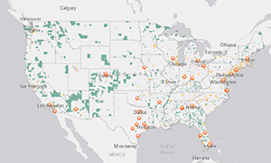
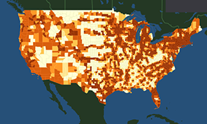
Geospatial Applications
Browse our geospatial applications below.
Static Maps
Browse the collection of static maps as "Datasets" below.
Related Datasets:
To choose multiple values, please hold the Ctrl key as you make your selection.

Pagination
To choose multiple values, please hold the Ctrl key as you make your selection.
- Mississippi River Watershed with Major Tributaries and Major Ports
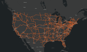
- National Highway System, Intermodal Connectors, and Principal Arterials: 2018
- NHS Intermodal Connectors Principal Arterials 2022
- Nice Ride Bikeshare Station Coverage in Minneapolis - St. Paul
- North American Roads Network
- Passenger Travel on the New York and Northeast Ferry Systems in 2017
- Peak Period Congestion on High-Volume Truck Routes
- People Entering the United States via Land Border Crossing or International Airport: 2017
- People Entering the United States via Land Border Crossing or International Airport: 2019
- People Killed in Distracted-Driving Crashes: 2010–2022
- Percent Change in Population by County: 2000-2017
- Percent Change in the Number of Public Electric Vehicle Charging Stations per County: 2014 to October 2020