
Geospatial Application and Map Gallery
Geospatial Applications
Browse our geospatial applications below.
Opportunity Zones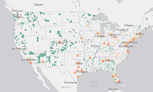 |
Rural Access to Intercity Transportation 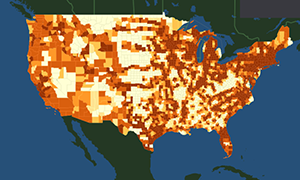 |
Docked Bikeshare Ridership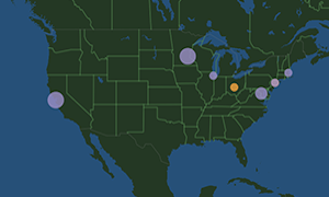 |
Hurricane Affected Infrastructure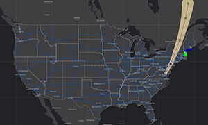 |
Interactive Bikeshare and E-Scooter Map  |
Intercity Bus Atlas
|
Draft National Multimodal Freight Network |
National Transportation Noise Map  |
|
Static Maps
Browse the collection of static maps as "Datasets" below.
Related Datasets:
To choose multiple values, please hold the Ctrl key as you make your selection.